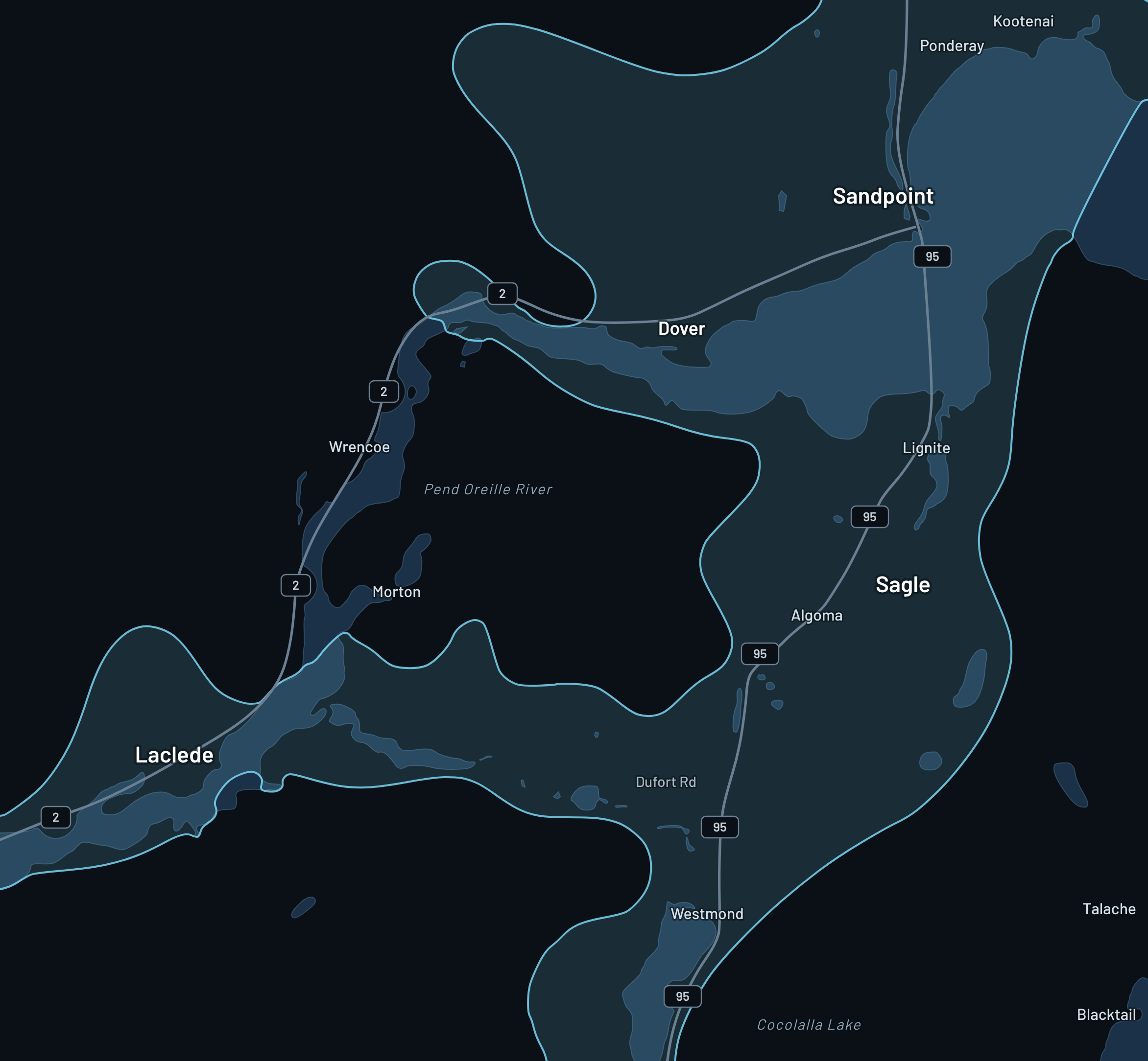
Expanded 2026 coverage
We went all-out in 2025 to cover more homes and businesses for 2026. See the areas below.
Sign up →
Expanded 2026 coverage
We’re expanding every month. Coverage is delivered line-of-sight to one of our relays or towers. If you aren’t in an area yet, tell us — we build out based on demand.
We went all-out in 2025 to cover more homes and businesses for 2026. See the areas below.
Sign up →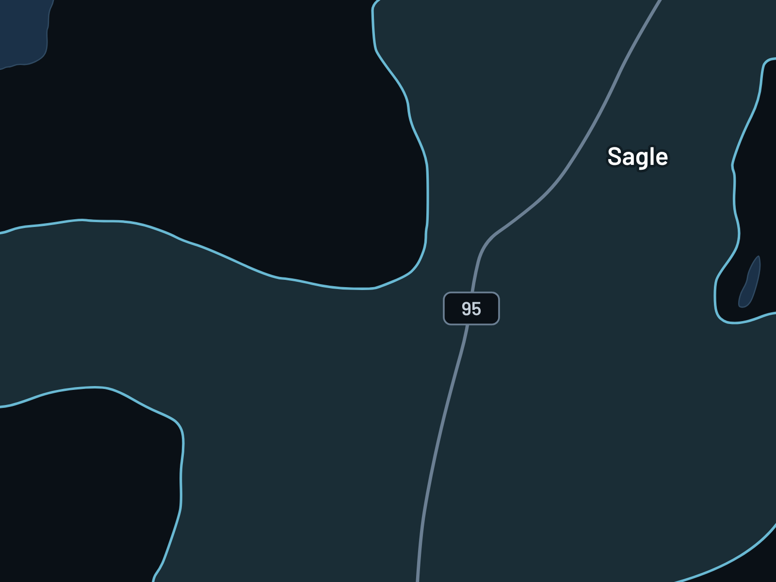
Coverage from East to West Dufort Road, reaching nearly to the Pend Oreille River. North toward Lakeshore and south into Cocolalla.
Sign up →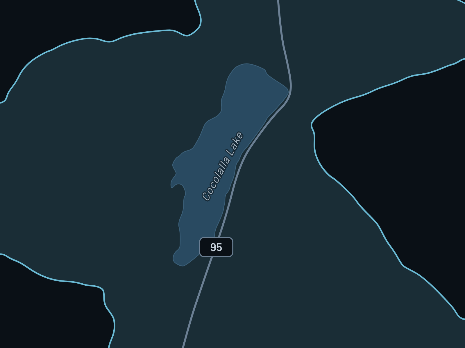
Coverage around Lake Cocolalla and into the hills to the west. It continues north into Sagle.
Sign up →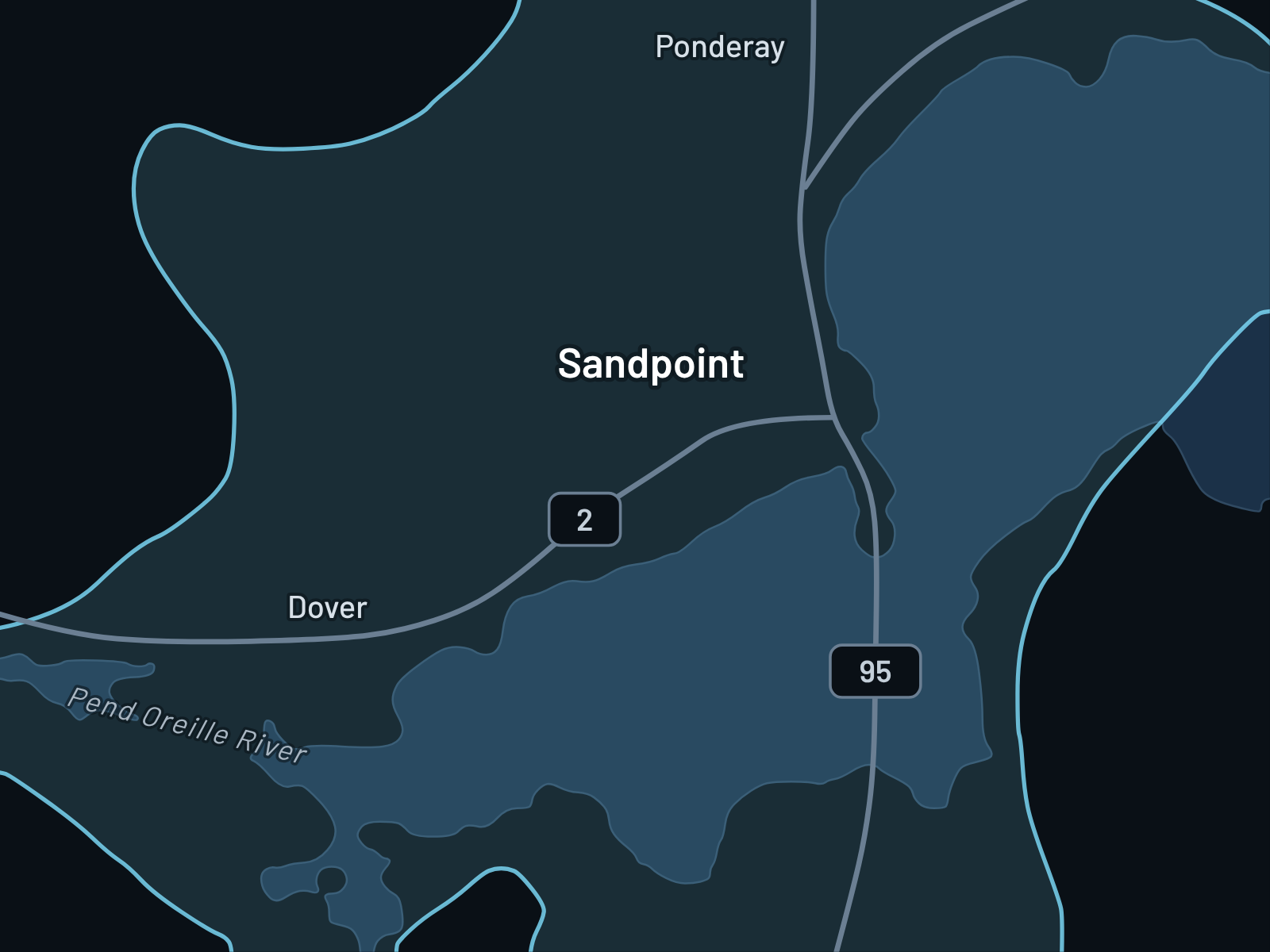
We build where people ask. A site visit tells us whether a new relay makes sense.